cincinnati_2050_
prof. michael_mcinturf
fall_2023
cincinnati_ohio
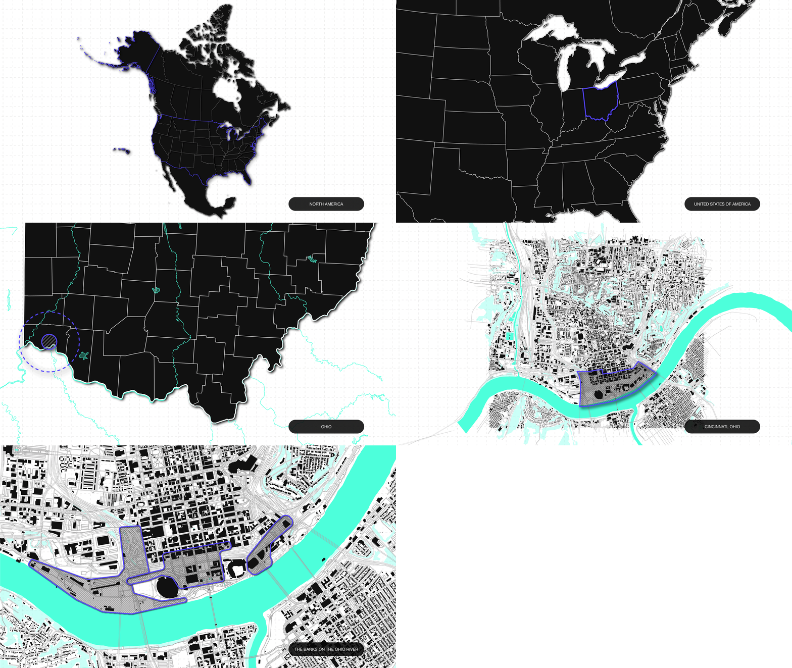
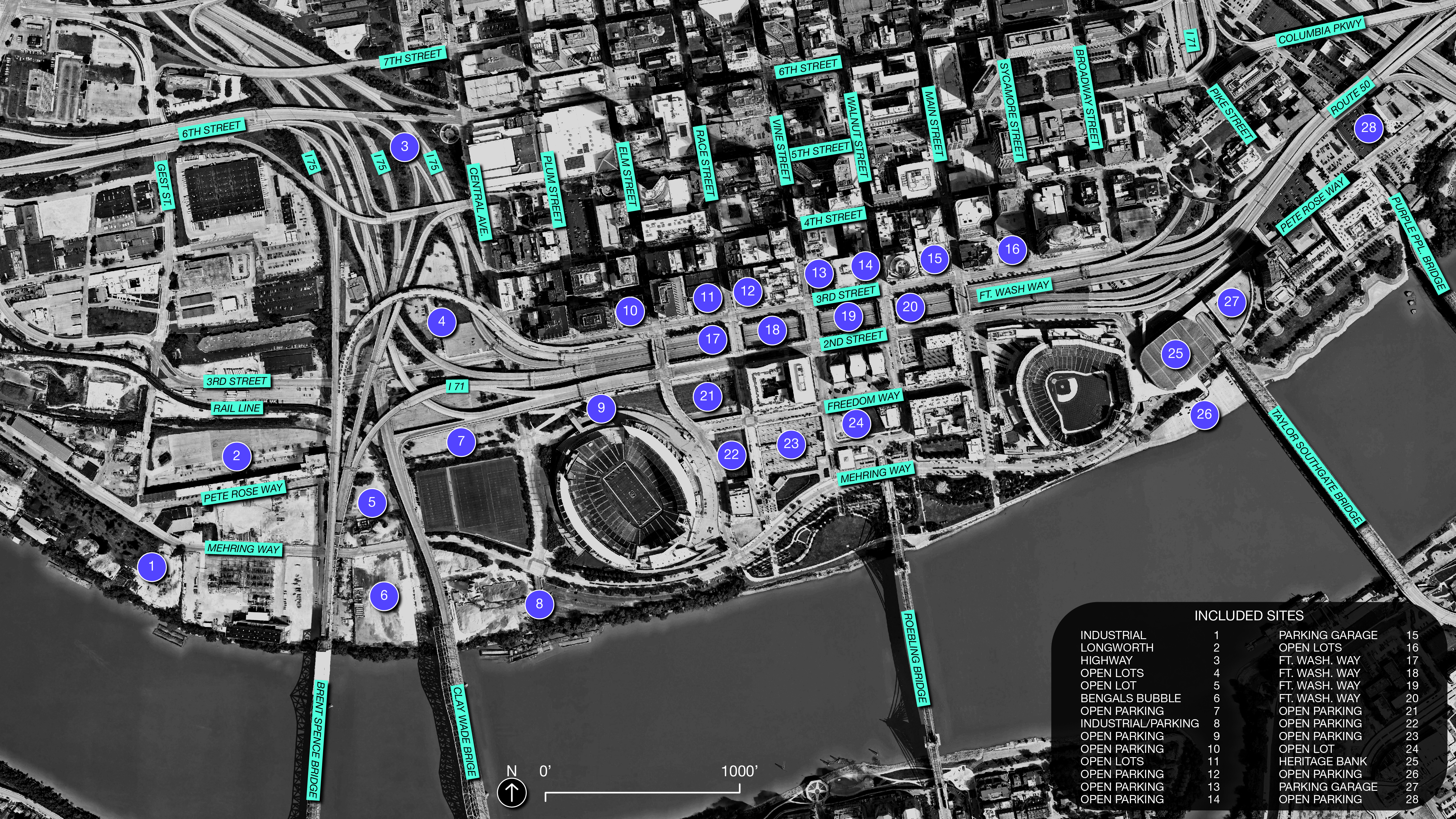
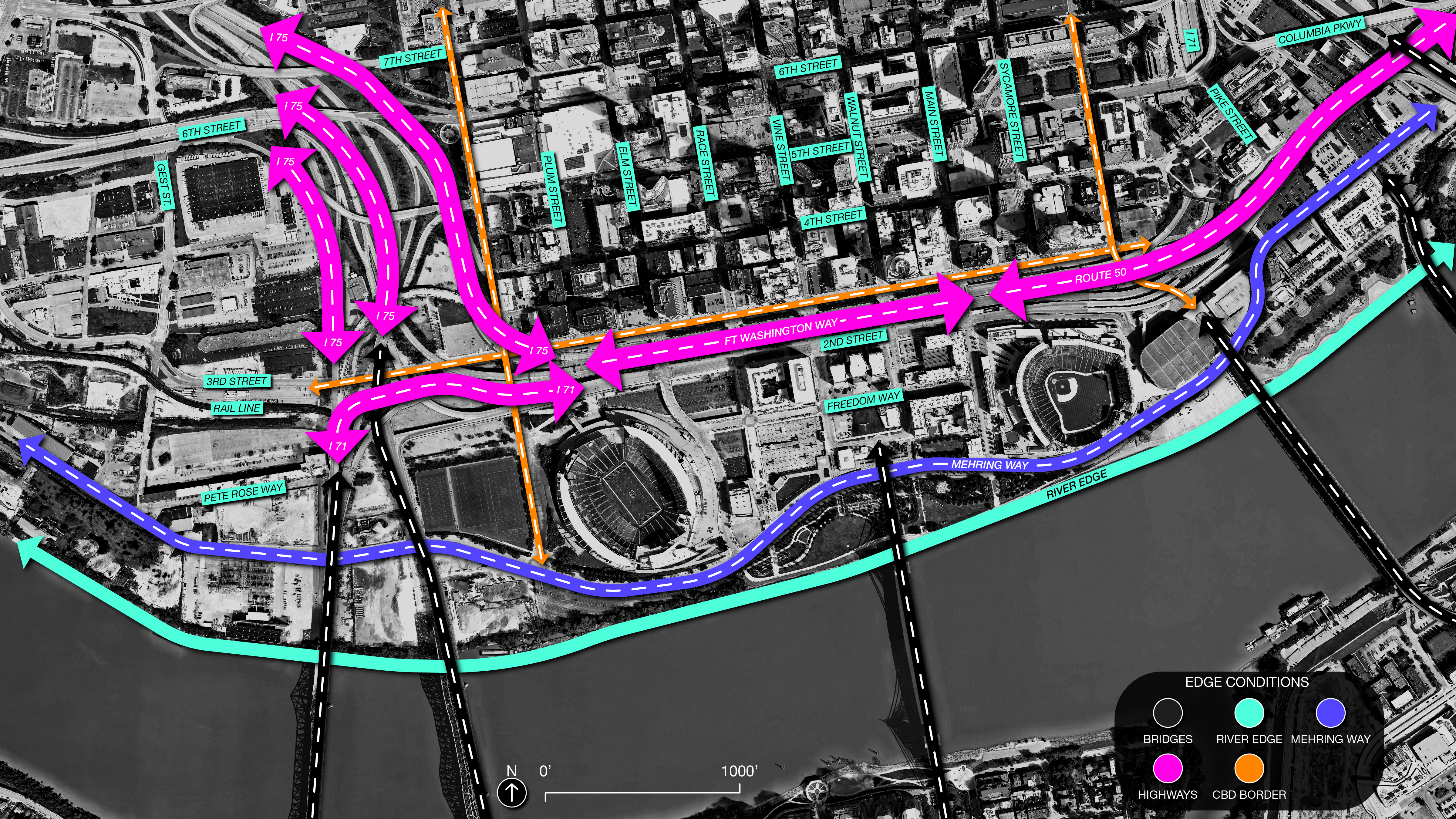
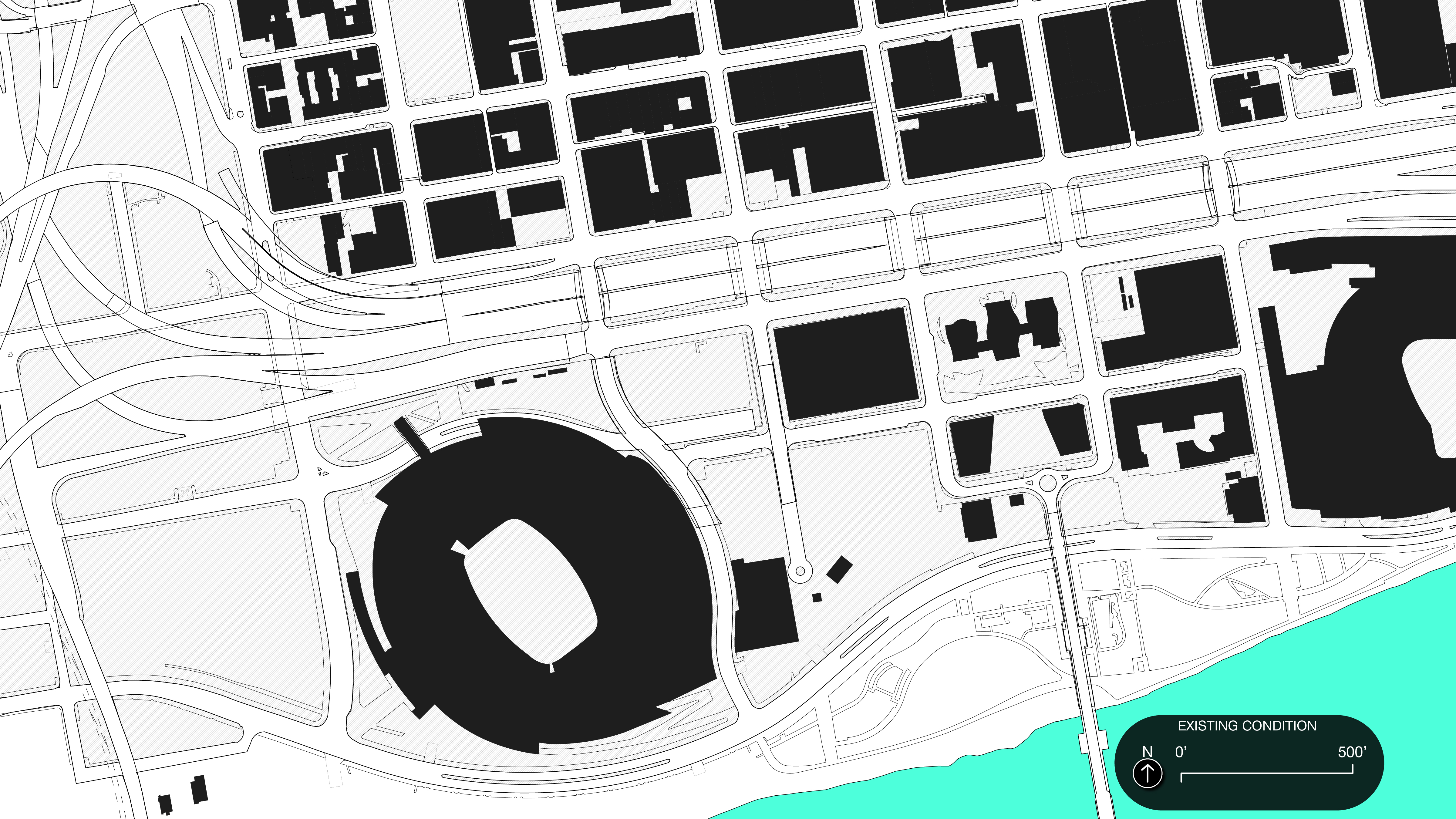
this semester focused on an in-progress riverfront development in Cincinnati called The Banks just south of Cincinnati’s downtown CBD. While the project sites are primarily determined, their content is not. Fort Washington Way acts as a trench between the downtown CBD and the riverfront. The Brent Spence Bridge on the west and the Daniel Carter Beard Bridge on the east act as physical boundaries, with the Ohio River defining the south edge. Harsh edge conditions have disconnected the Banks from the downtown area, leaving behind an underdeveloped “neighborhood”. The Banks lacks the tools and programmatic necessities to sustain an increasingly populated community.
sequential site mapping︎︎︎
site diagramming︎︎︎


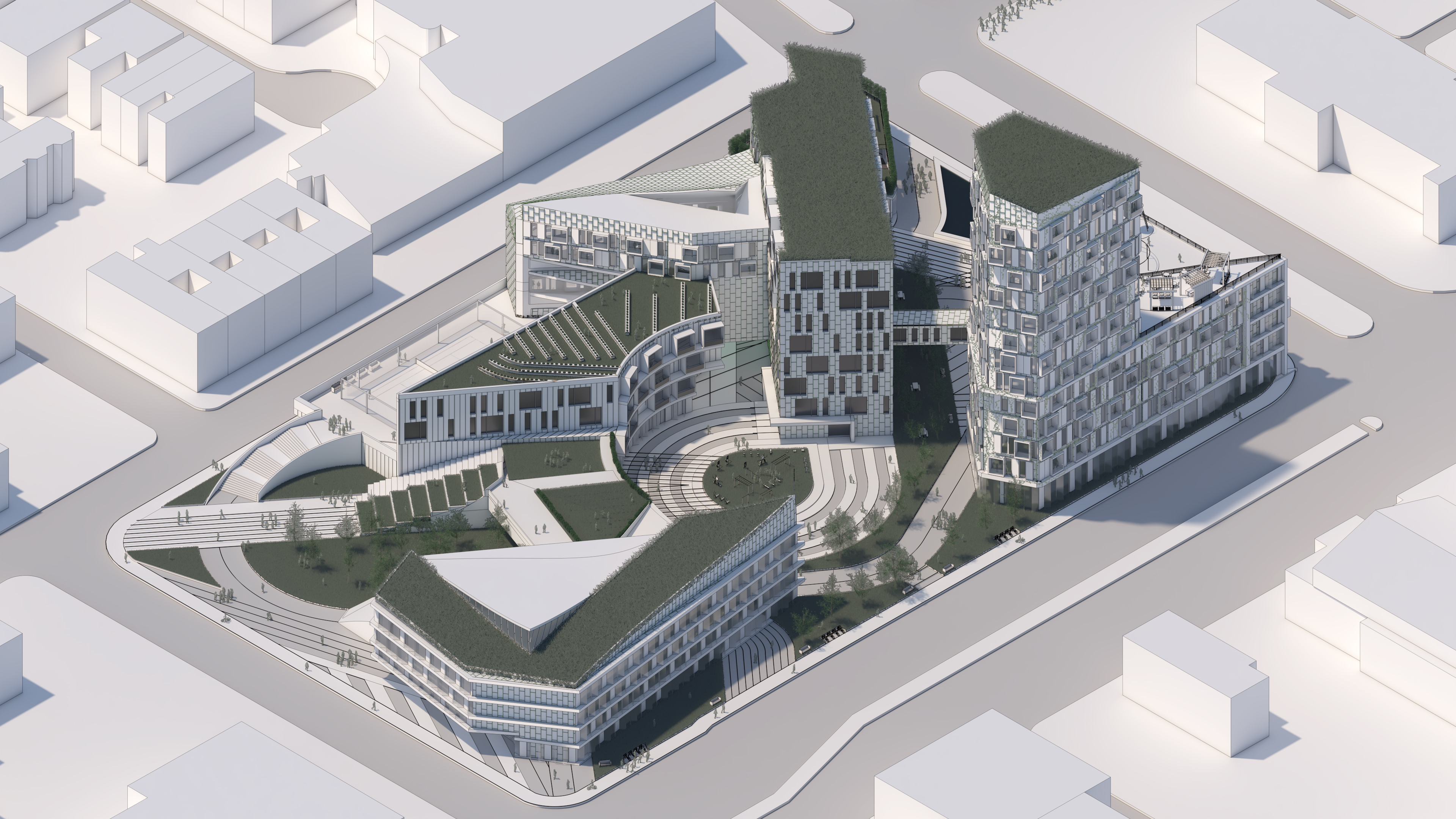
This parcel adds onto what culture currently exists at the Banks: more bars, restaurants, and hotels. It then provides green/public spaces, walkability, and other essential programmatic elements (grocery, rec center, food hall, and shops) for a community.
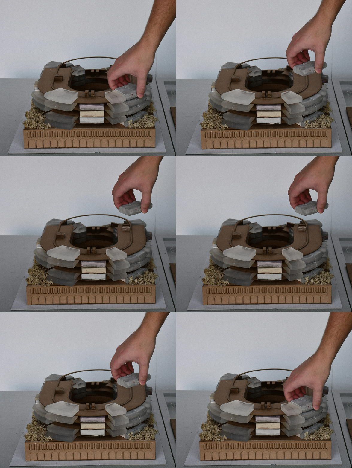
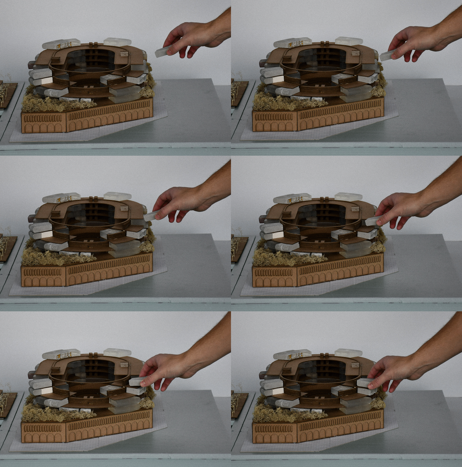
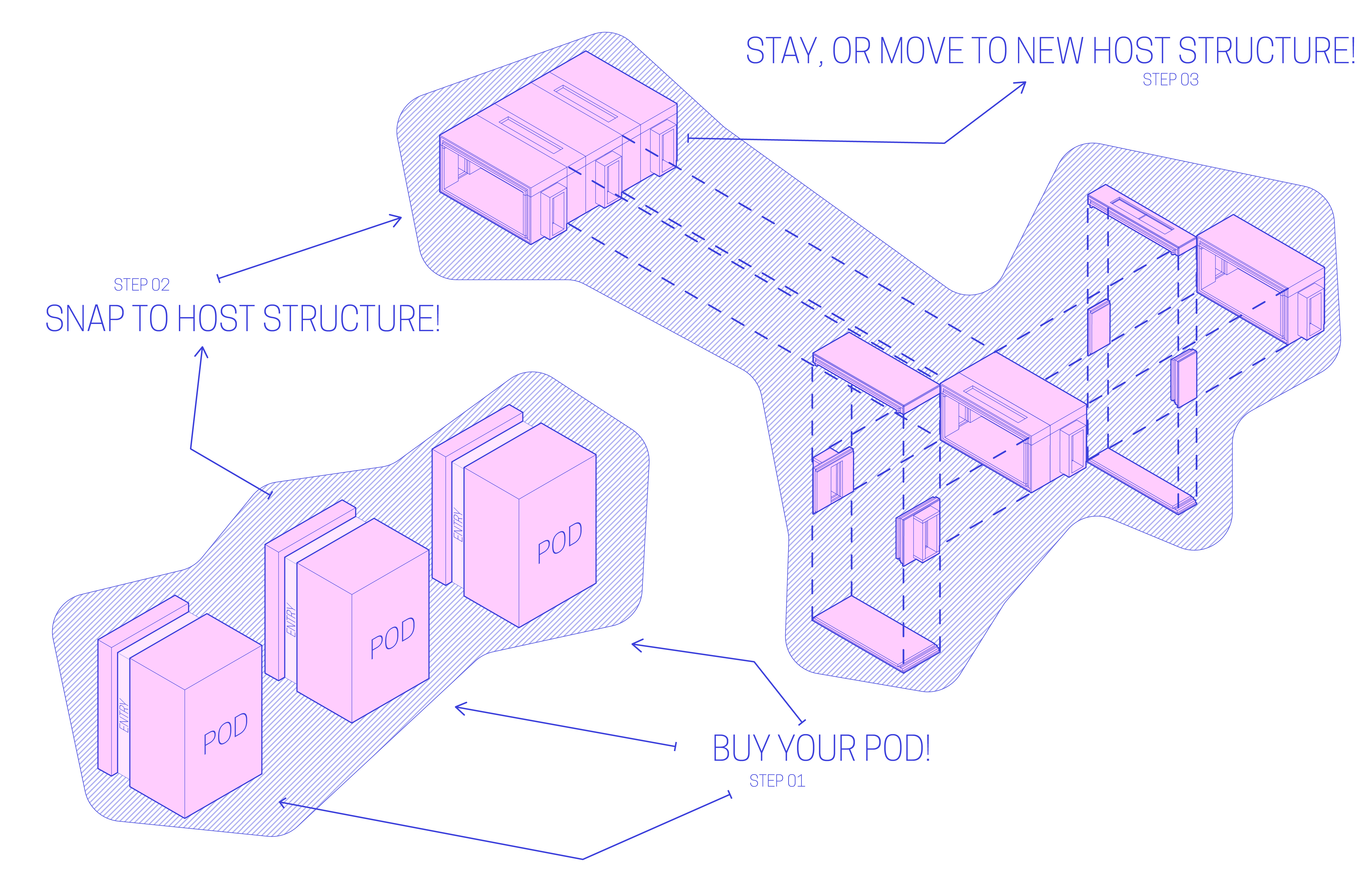
This parcel also adds flexible housing in repsonse to the population fluctuation of the Banks, found on a daily basis with the nightlife scene and game days along with the following decades as the Banks continues to develop. However, population increases for permanent residents do not happen over night; the flexible housing implemented encourages building out the buildings over time without over-densifying from the beginning. The gaps between the units can be utilized as shared spaces.
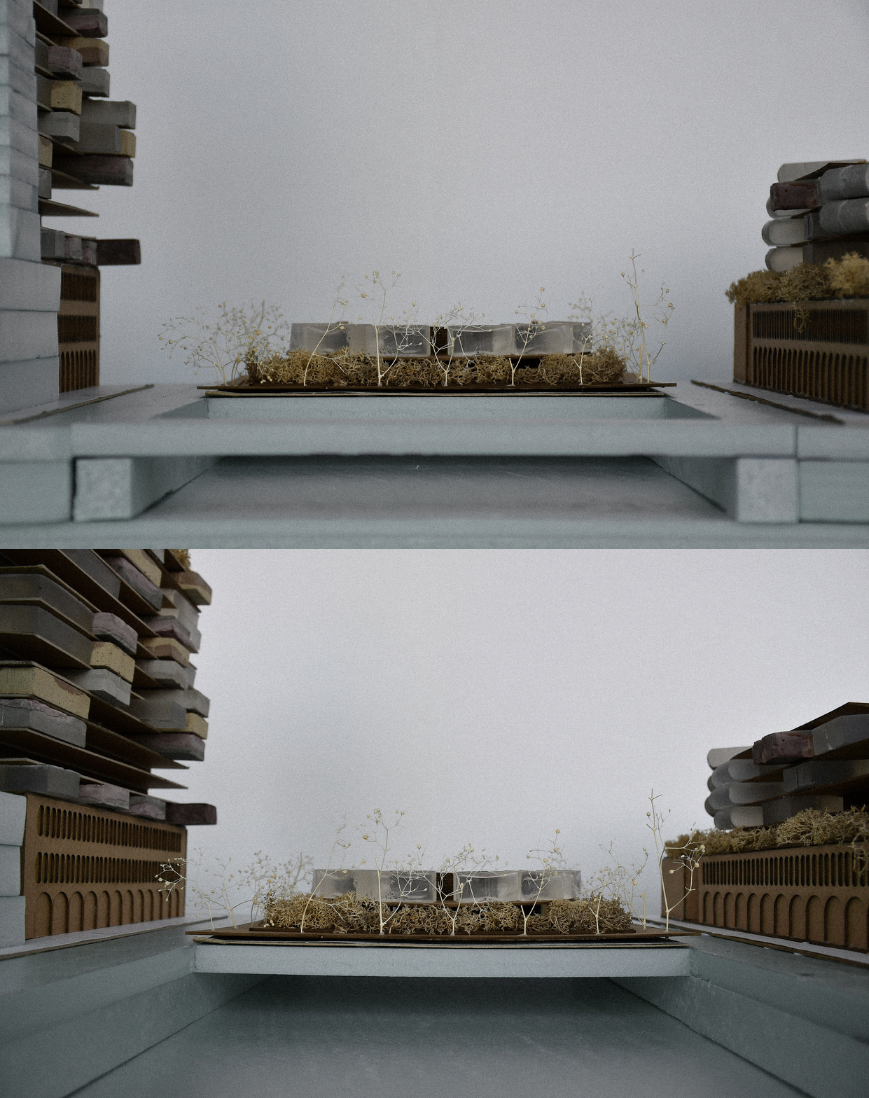
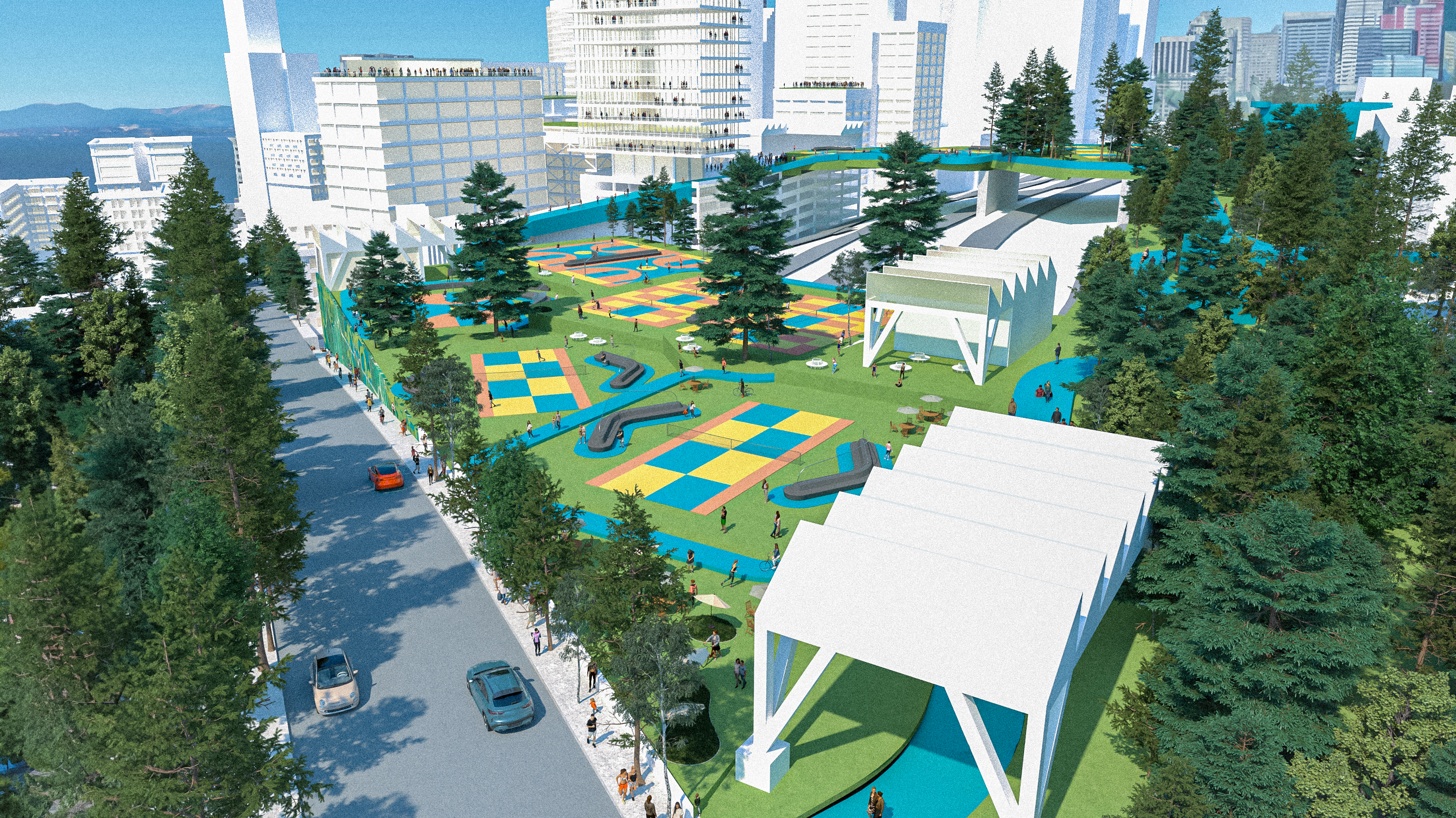
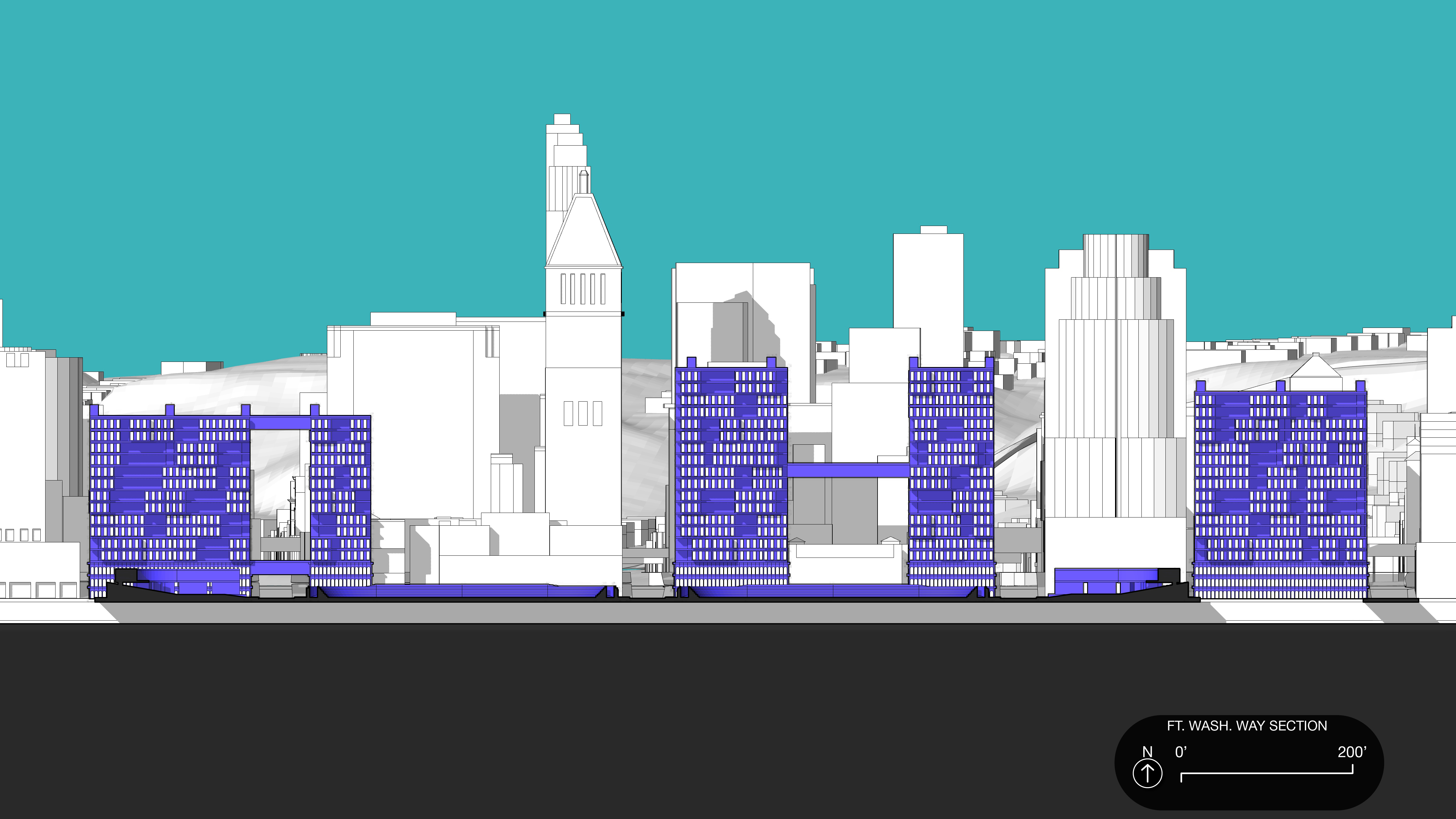
Ft. Washington Way is capped and transformed to a flex-green space (one of the largest in the city) and bridges back to the CBD to remove the spatial divide. It acts as a daily park, an ampitheater for concerts, a gathering space for Oktoberfest, or other seasonal events. Last, this parcel adds elevated, walkable layers above the street to take advantage of the horizontal surfaces urban buildings provide.
selected parcel of sites︎︎︎

in process site rules︎︎︎
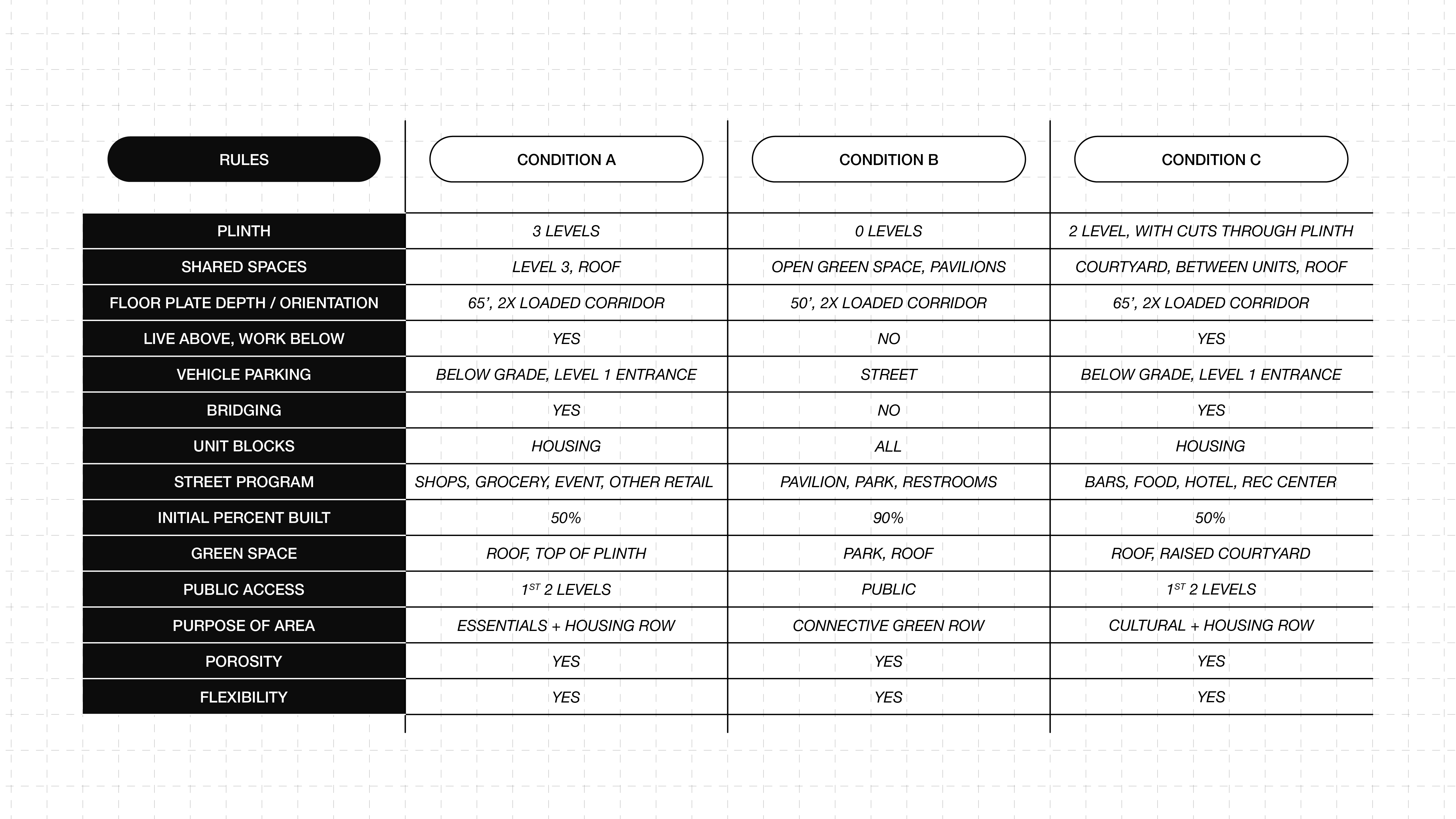
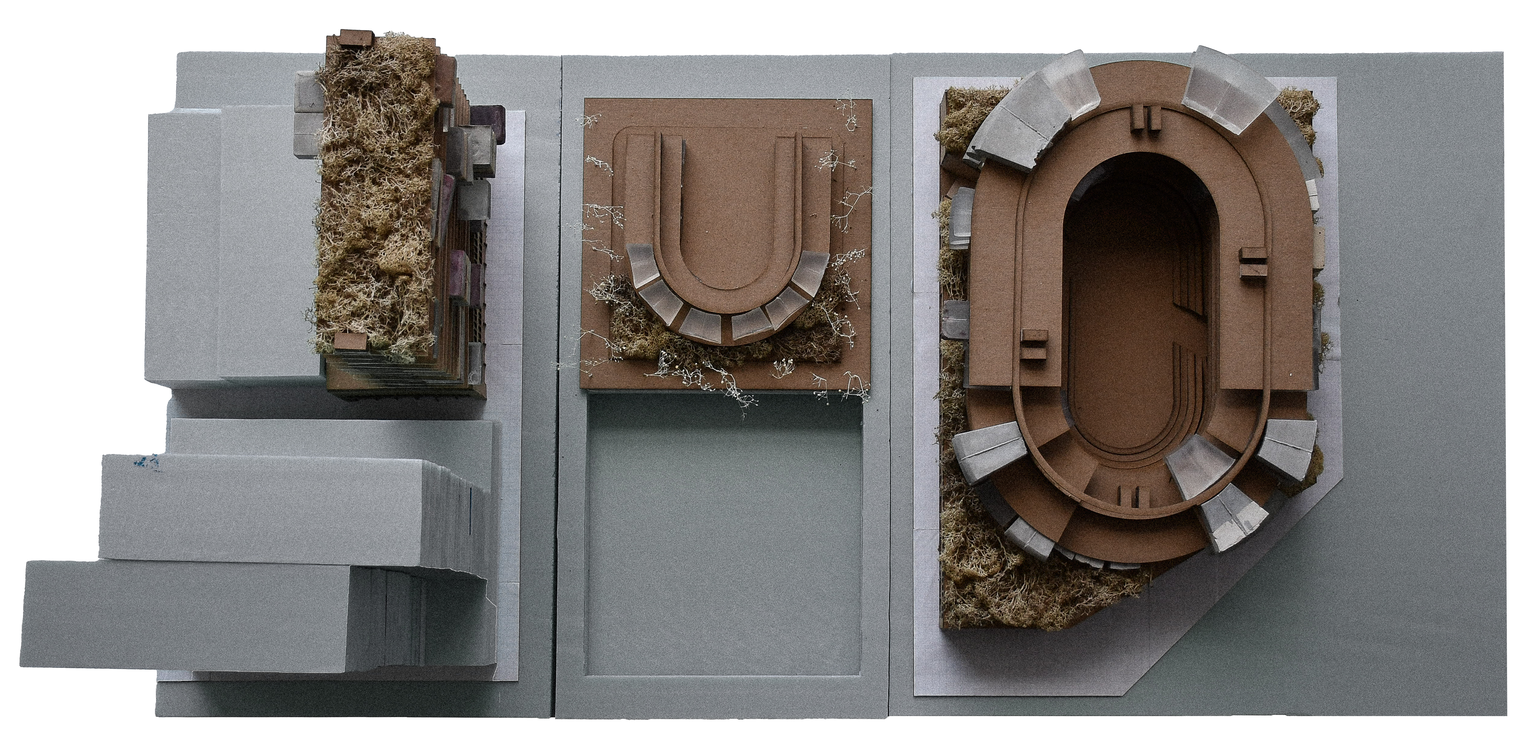
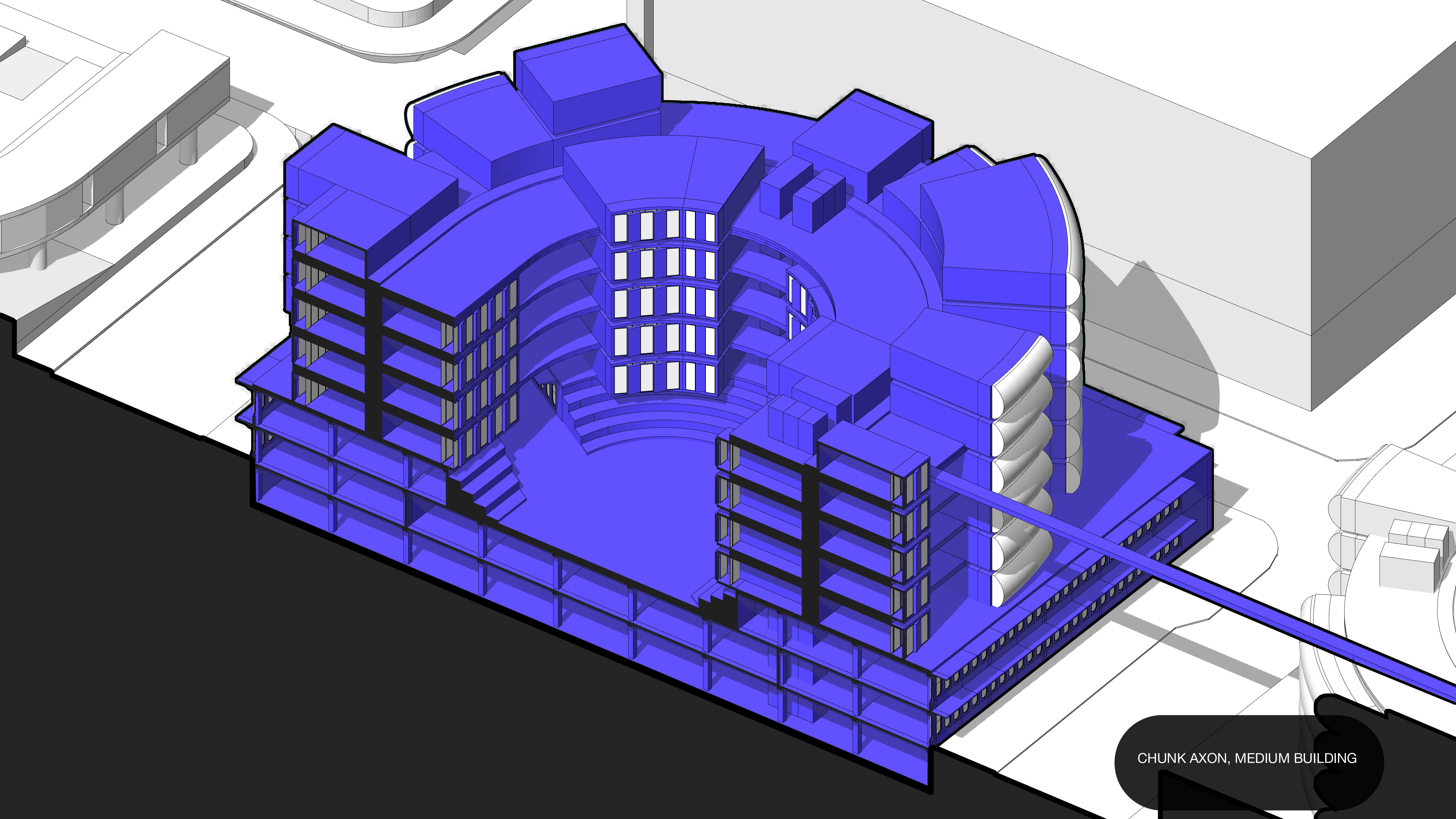
There were the main building conditions in this parcel: the 3RD Street tower lots with an FAR of 11, the Fort Washington Way Caps with a max building capacity of just a few stories, and the mid-scale open lots found around the stadiums with large block site but an FAR of 5.
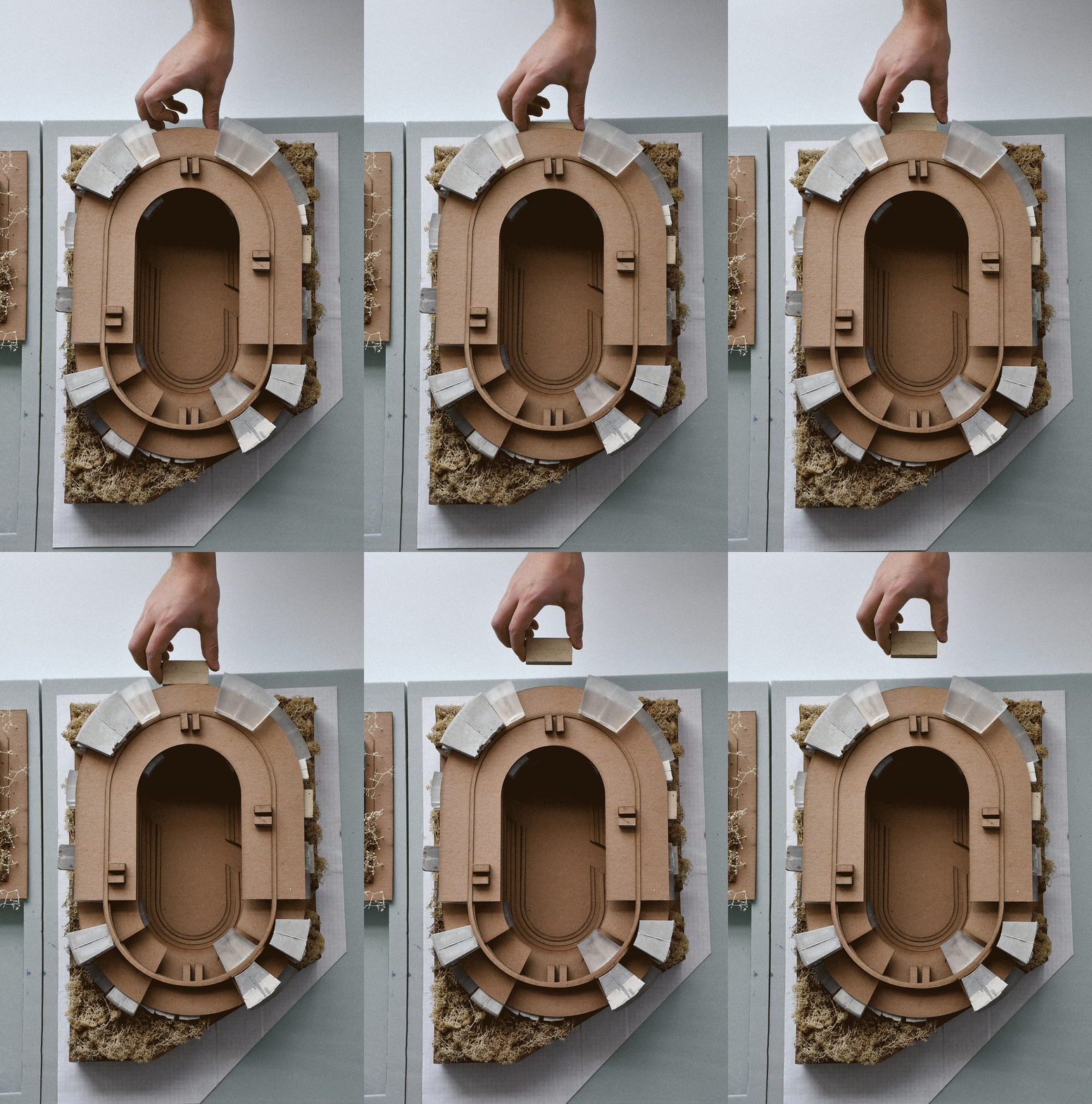
Each of these conditions follow their set of rules: plinth allocated to the first 1-3 stories for public/retail programmatic usage that can change over time, parking allocated below grade, and ample housing situated on top of the plinths. The Fort Washington Way caps along with other horizontal surfaces on the individual buildings act as shared green sapces at multiple scales.
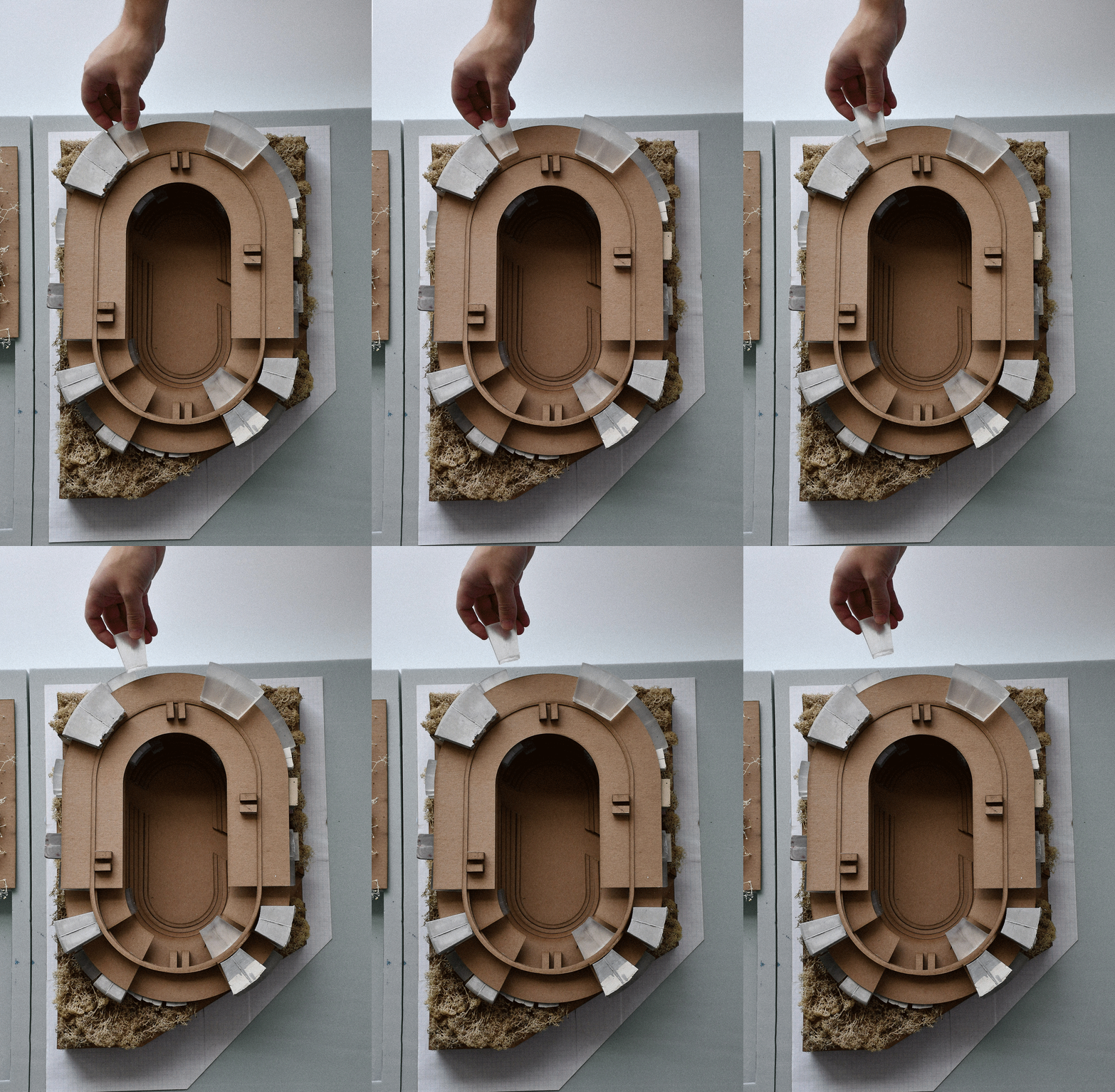
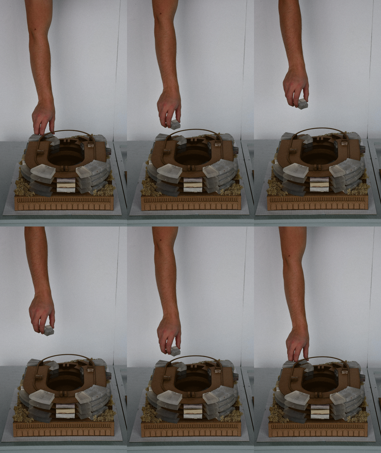
sequential diagram series gif︎︎︎
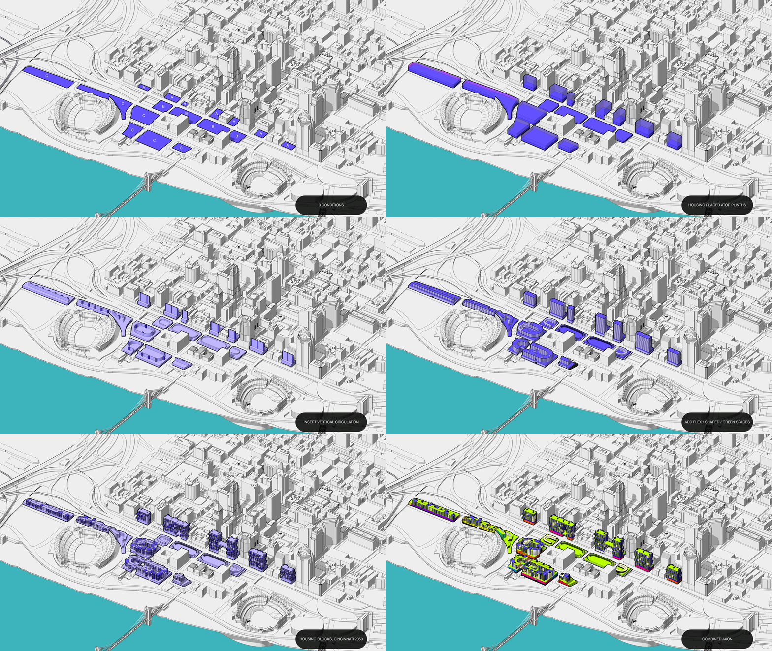
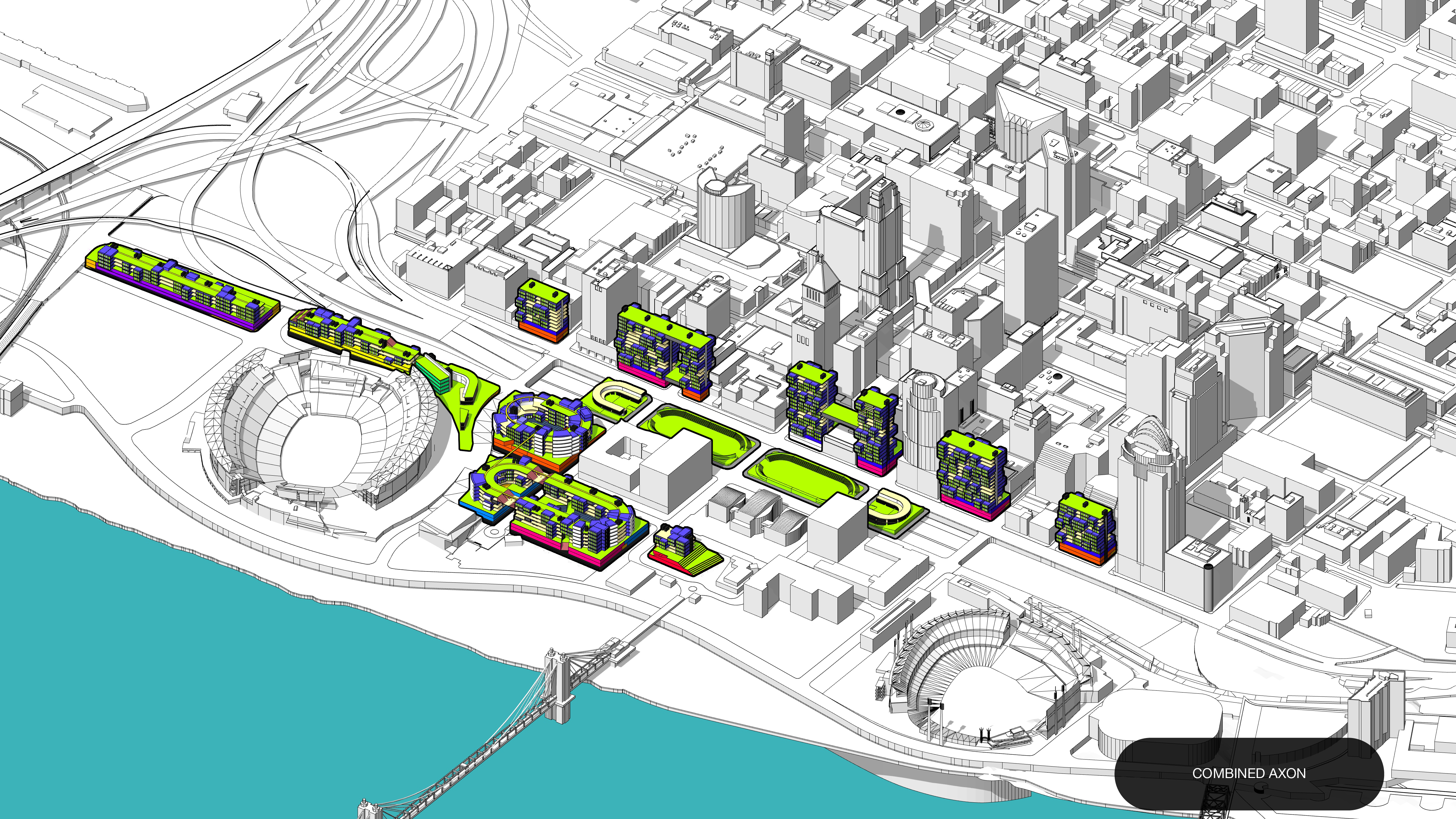
overall plans︎︎︎

site section facing third street towers︎︎︎
building chunk axon︎︎︎
physical model photos of three main conditions (scale = 1:250)︎︎︎
